-
E-mail
2749609891@qq.com
-
Phone
16652863761
-
Address
209, Building 1, Weifang High tech Zone Optoelectronic Industry Accelerator (Phase I), 155 Guangdian Circuit, Weifang High tech Zone, Shandong Province
About Us
Shandong Fengtu IoT Technology Co., Ltd
Date: 2025-09-23Read: 10
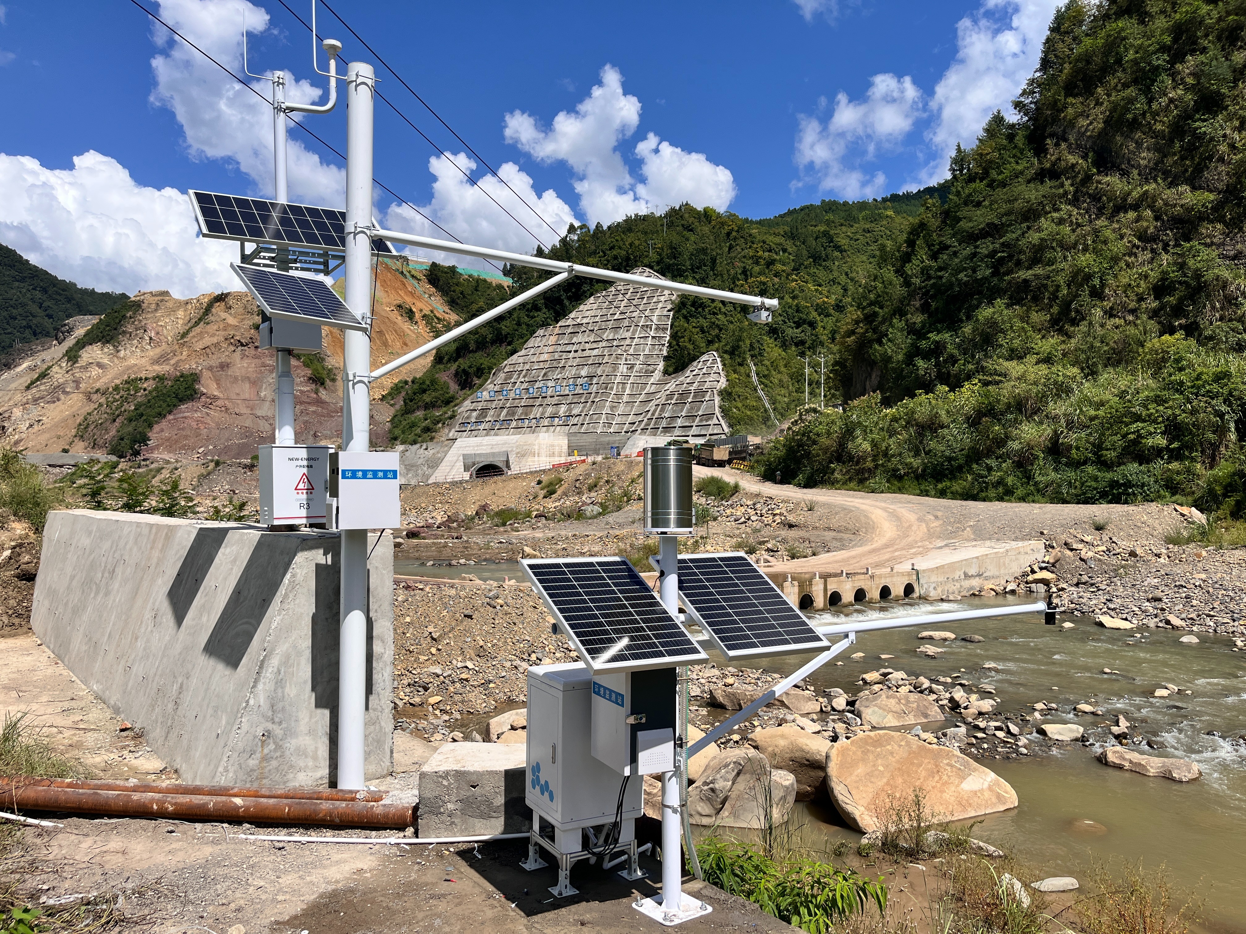
In the practice of traditional soil and water conservation monitoring, many difficulties have long constrained the effective implementation of ecological protection work. After the rainstorm, the waste disposal area of the production and construction project suddenly slides. Due to the lack of strong support from real-time monitoring data, the staff are like "blind people trying to figure out an elephant". It is impossible to trace the source of the loss, and it is difficult to quickly take targeted measures to curb the expansion of the disaster. In tea gardens in mountainous areas, the calculation of runoff and sediment volume relies on manual sampling after rain, and the data feedback lags behind for up to 3 days, which often leads to the failure of control measures to timely stop losses. The evaluation of the effectiveness of small watershed management relies on quarterly manual surveys, which are difficult to capture the dynamic changes during the rainfall process, and the evaluation results lack timeliness and accuracy.
The traditional monitoring method relies heavily on manual labor, which is not only time-consuming and labor-intensive, but also requires 2 people to collaborate for 4 hours for a single sampling at a single monitoring point. Moreover, the data quality is affected by various factors such as rainfall intensity and sampling location, and the error rate often exceeds 20%, which cannot meet the strict requirements of "precise supervision and intelligent prevention and control" for soil and water conservation in the new era.
However, with the successful installation and application of Fengtu Technology's FT-JL2 runoff soil erosion monitoring equipment in multiple locations, this dilemma is undergoing a fundamental transformation. The device has the core advantage of "fully automatic monitoring+multi factor linkage+intelligent warning", which can provide "real-time perception, accurate quantification, and intelligent judgment" monitoring solutions for production and construction projects, agricultural planting areas, small watershed management and other scenarios, laying a solid data foundation for ecological protection.