-
E-mail
13803026441@126.com
-
Phone
13803026441
-
Address
No. 8, Haitai Development Road 5, Huayuan Industrial Zone, Binhai High tech Zone, Tianjin
About Us
Tianjin Zhiyi Times Technology Development Co., Ltd
Date: 2025-11-04Read: 9
Faced with complex environmental regulatory challenges, traditional monitoring methods are no longer able to meet the precise traceability and efficient management needs in complex scenarios. The intelligent era unmanned aerial vehicle micro air quality online monitoring instrument deeply integrates high-precision sensors and unmanned aerial vehicle platforms, promoting the evolution of environmental monitoring technology from static network deployment to a three-dimensional mode of "air ground collaboration".
1、 Industry pain point: environmental regulationThree major challenges
As environmental governance enters the precision stage, regulatory practices generally face three major challenges:
Insufficient traceability accuracy: Although fixed point monitoring can reflect the overall concentration of the region, it is difficult to accurately locate vertical spatial distribution and unorganized emission sources, which restricts law enforcement effectiveness.
There are blind spots in regulation: complex terrain, high-altitude emissions, and restricted traffic areas often become monitoring blind spots, making it difficult to form a complete regulatory loop.
Delayed emergency response: In the face of sudden pollution incidents, the lack of rapid mobility and direct on-site monitoring capabilities affects the timeliness and scientificity of emergency response decisions.
2、 Core technological advantages:Four major abilities to solve regulatory challenges
Flexible maneuverability and coverage of blind spots: With the high maneuverability of drones, it is easy to reach areas that are difficult to cover by traditional means such as high-altitude chimneys, complex factory areas, and accident core areas, achieving "monitoring follows pollution".
Accurate traceability and three-dimensional perception: equipped with high-precision gas and particulate matter sensor modules, real-time monitoring of key parameters such as PM2.5, PM10, CO, O3, SO2, NO2, etc. By combining GPS positioning data, a three-dimensional distribution map of pollutants can be generated, visually presenting the diffusion path and accurately identifying the emission source.
Real time online, decision support: Monitoring data is transmitted back to the cloud platform in real-time through 4G/5G networks. Regulatory personnel can remotely view flight status and pollution dynamics, providing real-time data support for emergency command and law enforcement.
Efficient and safe, cost controllable: Replacing traditional manual climbing and inspection with aerial operations significantly reduces on-site safety risks and time costs, improves monitoring efficiency, and is a powerful tool for achieving efficient and low-cost comprehensive inspections.
threePractical project case: Effective implementation in multiple regions
Zhiyi Era's unmanned aerial vehicle micro stations have been practically applied in multiple regions across the country, widely used in complex scenarios such as high-altitude pollution tracking, emergency response to sudden leaks, and dust dispersion assessment. The equipment is equipped with high-precision monitoring modules, GPS positioning modules, and dedicated power cables for drones, which support stable feedback of monitoring data to the software platform. This provides accurate data basis for local regulatory departments to quickly identify the source of pollution and formulate disposal plans, shortening the problem disposal cycle by an average of 40%.

fourTypical Applicationsscene
High altitude traceability in industrial parks: Unmanned aerial micro stations can perform cross monitoring along chimney plumes, achieving closed-loop management from "discovering anomalies" to "locking the source".

Emergency response to sudden environmental incidents: In the event of chemical leaks, fires, explosions, and other accidents, quickly fly over the core area, monitor the types, concentrations, and diffusion range of toxic and harmful gases in real time, and provide decision-making basis for scientifically delineating warning areas and formulating evacuation plans.

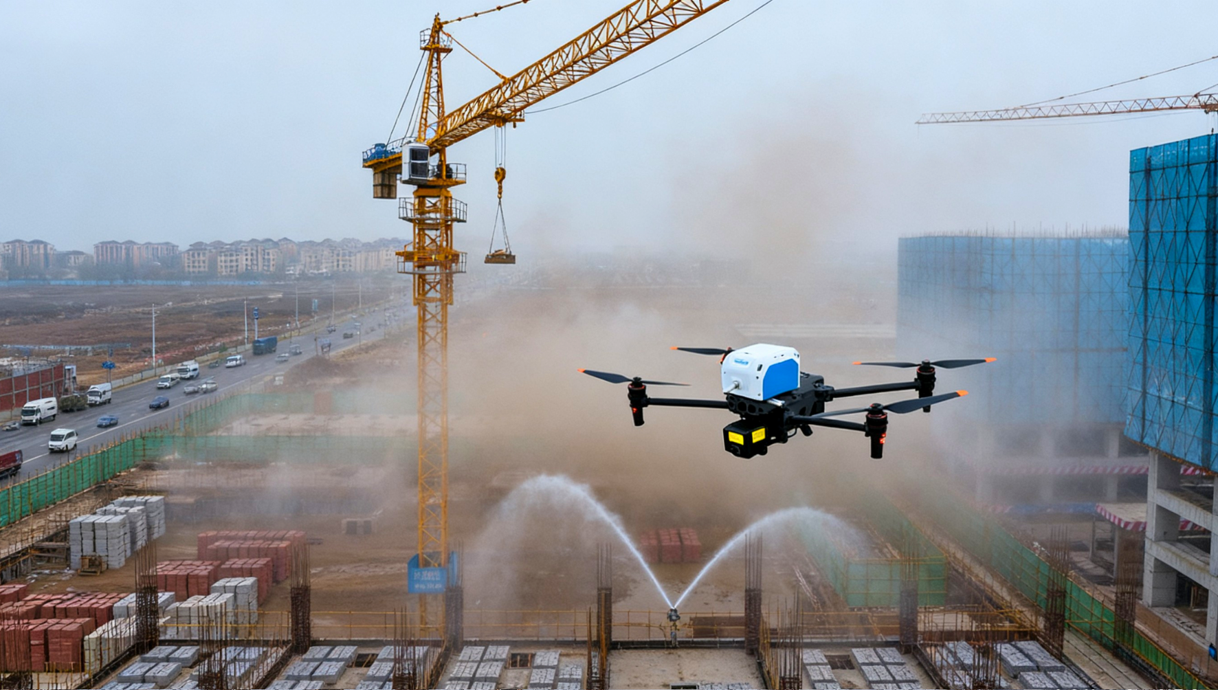
Building dust monitoring: Conduct aerial inspections of construction sites and surrounding areas to accurately assess the actual diffusion height and impact range of dust, and compensate for the limitations of ground monitoring.
The intelligent era of unmanned aerial micro stations is not only an innovation in monitoring tools, but also a strategic upgrade in environmental supervision thinking. The integrated monitoring system of "ground grid coverage and air mobility traceability" has been formed, which solves the problem of precise positioning of pollution sources in the "last mile" and helps regulatory departments achieve a leap from passive response to active warning, from macro management to micro traceability.