-
E-mail
wujinmei@four-faith.com
-
Phone
13959264836
-
Address
5th Floor, Building B14, Software Park Phase III, Jimei District, Xiamen
Product Categories
- Field water-saving irrigation controller
- Radar flowmeter
- Smart Irrigation Area Information Management Platform
- Video telemetry terminal RTU
- Comprehensive Reform Platform for Agricultural Water Prices
- Wireless warning broadcast
- Pull rope displacement sensor
- The Ministry of Water Resources recommends wireless warning broadcasting for evaluation
- GNSS receiver
- Well controller
- Radar flowmeter
- Water conservancy informatization platform
- Tipping bucket rain sensor
- Universal monitoring equipment
- Integrated monitoring station
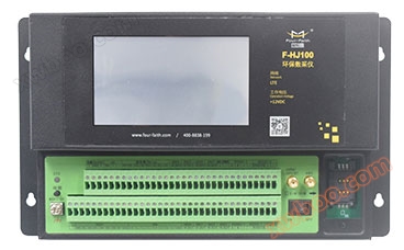
- Environmental protection data acquisition instrument
- Intelligent valve controller
- Integrated water level gauge
- MCU multifunctional telemetry terminal
- RTU telemetry terminal
- Beidou series terminal
Xiamen Sixin IoT Technology Co., Ltd

Agricultural water price reform information management cloud platform
NegotiableUpdate on 04/14
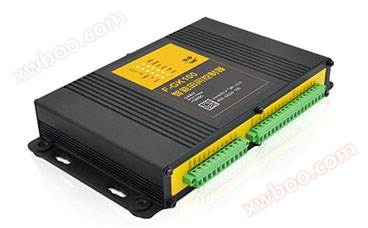
- Model
- Nature of the Manufacturer
- Producers
- Product Category
- Place of Origin
Overview
Flow monitoring: real-time video of water level and flow information, video monitoring, water gates, soil temperature and humidity, rainfall, etc. Display video equipment/stations by regional level, click on station irrigation area information: mainly display the basic situation of the irrigation area, project files water rights operation: water rights allocation, water rights trading, water rights management, water-saving application module data analysis: flow analysis, water user analysis, soil moisture analysis, alarm analysis module
Product Details

The information management platform for comprehensive reform of agricultural water price effectively uses the Internet, Internet of Things, and big data technologies in the informatization of irrigation areas, and is committed to alleviating the long-standing problems of water resource waste in China's agriculture. The platform provides services such as GIS, video imaging, water rights operation, irrigation planning, environmental meteorology, soil moisture, and data analysis. Real time monitoring of regional water usage, statistical analysis of water resource utilization, assistance in formulating water-saving measures, allocation of water and water rights, and provision of water resource utilization efficiency.


A map of the irrigation area
The 'Irrigation Area Map' visually displays information, operational status, layout and distribution of monitoring stations, water usage by water users, transaction status, and water-saving goals.

traffic monitoring
All current stations can be viewed, and GIS based comprehensive visualization management of irrigation channel water level and flow information, video monitoring, water gates, soil temperature and humidity, environmental meteorology, rainfall, and other stations can be achieved. The operation status, real-time data, layout, and other aspects of each station can be visually displayed.

live video
Display video devices/sites at the regional level. Clicking on a site will connect to it and display its real-time monitoring video. Users can fully utilize the real-time video to monitor the situation on site.

Irrigation District Information
Irrigation district information mainly includes basic information and project file modules. Irrigation district information mainly displays the basic information of the irrigation district. Project files can be queried for relevant documents based on time, document category, document type, and file name combination conditions.

Water rights operation
Water rights operation mainly includes water rights allocation, water rights trading, water rights management, and water-saving application modules. Quickly view the water rights allocation status of all water users in the current area, as well as allocate water rights, apply for water conservation, and view water rights transactions for water users. Use color blocks to visually display water conservation and overexploitation situations of water users.


data analysis
Data analysis mainly includes flow analysis, water user analysis, soil moisture analysis, and alarm analysis modules. It can perform traffic analysis, view water consumption and moisture analysis, and record alarm information for the site.


 Real time water measurement and monitoring of water usage
Establish and improve the water rights operation and management system
Realize agricultural water quota restrictions, excessive price increases, and rewards for conservation
Data statistical analysis improves water supply efficiency and benefits
Technical Specifications
Related Downloads
Similar Product Recommend