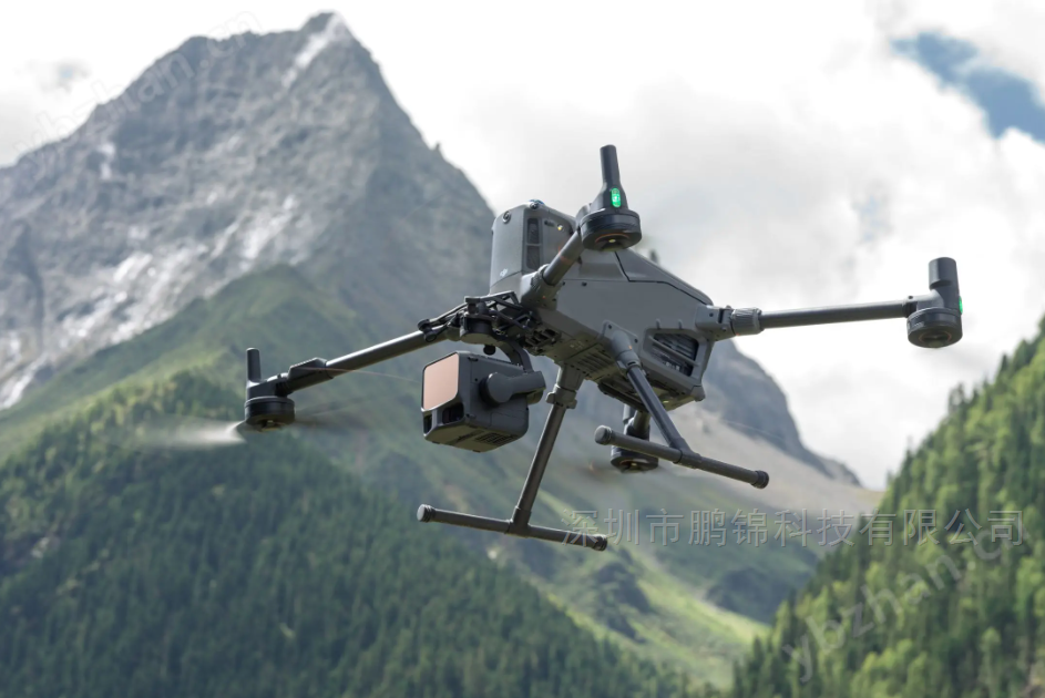
Long range and flexible point frequency
Equipped with a 1535 nanometer long-range LiDAR, the maximum range can reach 950 meters at 10% reflectivity and 2000 meters at 80% reflectivityPoint frequency supports flexible adjustment from 100000 to 2 million points per second, which can match different job requirements (such as high-density point cloud acquisition or long-distance penetration).
-
Millimeter level high precision
Our self-developed LiDAR achieves a 5mm repeated ranging accuracy (1 σ) at 150 meters, and the upgraded high-precision pose system has a heading accuracy of 0.02 ° (1 σ). The elevation accuracy at 120 meters is better than 3 centimeters, and at 300 meters it is better than 5 centimeters, meeting the requirements of 1:500 scale surveying.
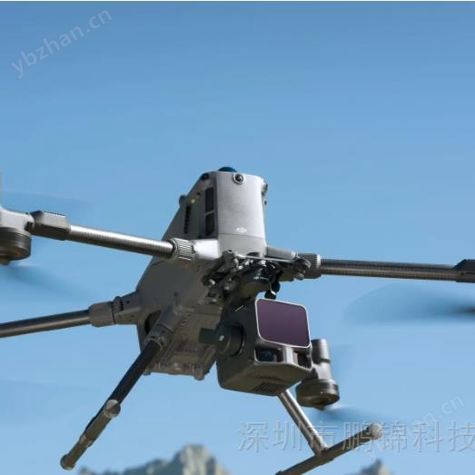
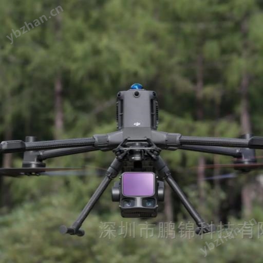
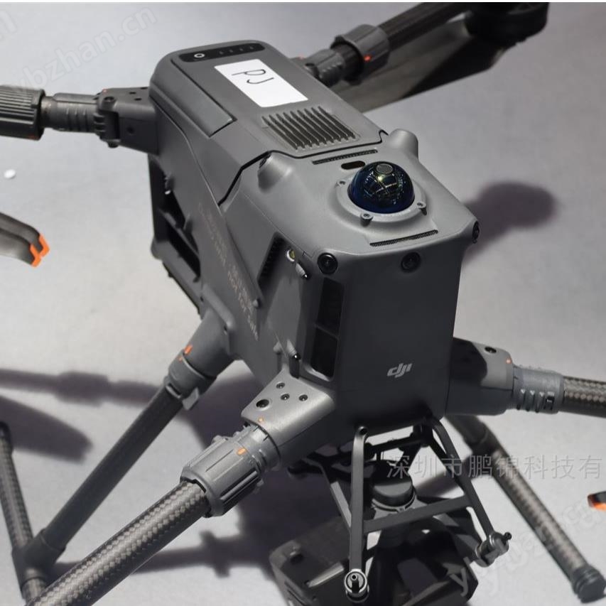
Dual 100 million pixel visible light camera
Fusion of dual 100 million pixel 4/3 CMOS visible light sensors, using a mechanical shutter, with a ground sampling distance (GSD) of 3 centimeters at an altitude of 300 meters, supporting four pixel integration to 25 million pixels, balancing high resolution and low light imaging capabilities. The lateral field of view angle has been increased to 107 °, and DOM/DEM acquisition can be completed with only a 20% laser lateral overlap rate, significantly reducing field workload.
Strong penetration and multi echo technology
The laser divergence angle is only 0.25 mrad, and the spot size is 1/5 of the previous generation L2, which can clearly distinguish small targets such as wires and tree branches 300 meters awaySupports up to 16 echoes, penetrates 12 meters of tree crowns to obtain ground points under the forest, and accurately reproduces complex terrain structures.
Efficiency Innovation
Paired with DJI Matrice 400 unmanned aerial vehicle, it can cover 10 square kilometers in a single flight at an altitude of 300 meters, with a daily operating area of up to 100 square kilometers, which is several times more efficient than traditional solutionsThe repeated scanning mode in the shape of a meter balances accuracy and penetrability, making it suitable for dense scenes in forests or building clusters.
Full process ecological support
Provide a one-stop solution from data collection (DJI Pilot 2), processing (DJI Zhitu) to application (DJI Zhimo, Sikong 2 cloud platform). Support image free control processing, Gaussian splash fusion reconstruction, and point cloud semantic classification, output standard formats such as LAS/LAZ/PLY, and improve the efficiency of the entire process by more than 3 times.
Intelligent homework and safety assurance
DJI Pilot 2 can automatically recommend job parameters and preview point cloud density maps before takeoff; Real time point cloud SLAM reconstruction synchronized with Sikong 2 cloud platform, supporting rapid assessment of emergency scenariosThe IP54 protection level is suitable for complex environments, and CFexpress storage card encryption+AES-256 image transmission encryption ensures data security.
power inspection
Up to 130 meters of simulated line flight is supported, and complete power channel data can be obtained in one go without detours or crossings. The defect detection rate of Inner Mongolia 500kV transmission lines has been increased by 40%. Thermal imaging super-resolution technology combined with AI algorithm can identify equipment overheating problems with a temperature difference of 0.1 ℃.
Forestry survey
Penetrating the 12 meter canopy to obtain terrain data under the forest, the South African eucalyptus forest was measured to generate a three-dimensional structure including the top, trunk, and surface of the tree, supporting biomass estimation and carbon sequestration measurement, with an efficiency improvement of 20 times compared to manual methods.
emergency surveying and mapping
Complete high-precision 3D modeling of landslides within 1 hour, locate fire sources through smoke in forest fires, and generate rough models to assist decision-making while flying.
engineering survey
The rice shaped scanning mode obtains complete ground points in dense building clusters, and the 620 meter deep mine of the Australian gold mine completes a survey of 6 square kilometers in 15 minutes, replacing traditional manual collection that takes several hours.
Cultural heritage protection
The fusion of dual 100 million pixel cameras and LiDAR has covered the "1+27+N" cultural relics system in Fuling, Chongqing, with a cumulative flight of over 12000 kilometers, finely restoring the texture and structure of ancient buildings.