The distributor of DJI Zenith L3 LiDAR in Guangdong Province, integrating 1535 nanometer long-range LiDAR, dual 100 million pixel visible light cameras, and high-precision pose systems
Distributor of Guangdong DJI Zenith L3 LiDAR
wavelength1535 nanometers (Compared to traditional 905 nanometers, it is safer for human eyes and has stronger atmospheric penetration)
Measurement distanceUnder 10% reflectivity950 metersAt 80% reflectivity2000 meters
spot frequency100kHz~2000kHz (up to 2 million points per second), flexible adaptation to different altitudes and scenarios
light spot: 0.25mrad divergence angle, only 41mm at 120 meters, about one-fifth of L2
Distance measurement accuracyAt a distance of 150 meters, * *<5mm * * (1 σ), with an absolute accuracy of ± 10mm
Echo capability: At most16 echoes(100kHz/350kHz), Enhance vegetation penetration and multi-layer target recognition
resolutionSingle camera 12288 × 8192 (100 million pixels), dual camera synthesis with a large field of view of 107 °
Ground sampling rateGSD at 300 meters altitude only3 centimetersMeet the high-precision surveying and mapping requirements of 1:500
support: 25 million/100 million pixel dual-mode, mechanical shutter life of 500000 times
posture accuracy: Heading 0.02 °, pitch/roll 0.01 ° (post-processing, 1 σ)
定位精度RTK fixed solution: horizontal 1.0cm+1ppm, elevation 1.5cm+1ppm
time synchronizationMicrosecond level accuracy ensures precise matching between laser and image data
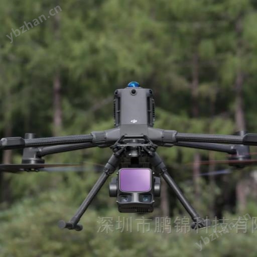
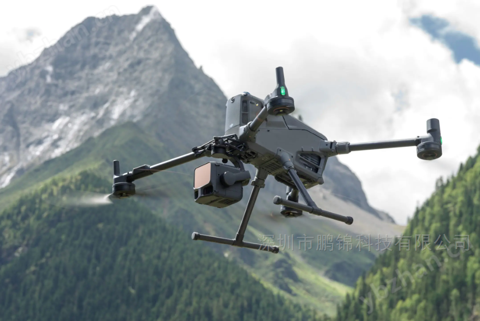
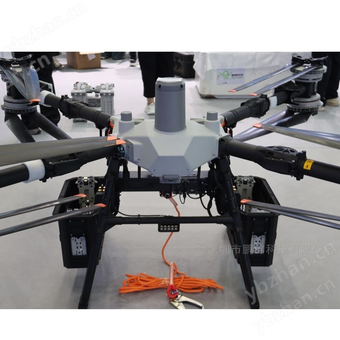
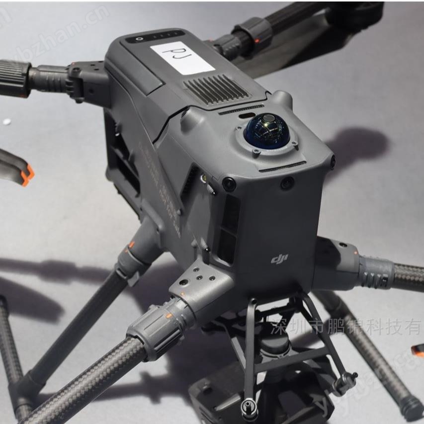
weight1.6kg (excluding gimbal), gimbal 145g, compatible with professional drones such as M400
power consumptionTypical 64W, maximum 100W
protectionIP54 dustproof and waterproof, working temperature -20 ℃ to 50 ℃
At a frequency of 100kHz, the target with 10% reflectivity has a range of 950 meters and an operational altitude of 500 meters
Compared to L2 (with a range of approximately 450 meters and an optimal altitude of 120-150 meters), the coverage area has been improvedMore than twice
A single flight with a height of 300 meters can cover an area of 10 square kilometers,The daily homework area reaches 100 square kilometers
120 meter altitude: elevation accuracy3 centimeters, Plane accuracy of 4 centimeters (RMSE)
300 meter altitude: elevation accuracy5 centimeters, with a plane accuracy of 7.5 centimeters
The point cloud thickness is only half of L2, making terrain fitting more accurate
Small light spot high-energy design, single point energy density improvement, significantly enhanced ability to penetrate vegetation
16 echo technology can simultaneously capture ground and canopy information, making it a powerful tool for forestry surveys and power inspections
Can recognize small wires with a diameter of 18.4mm, maintaining clear point clouds at a distance of 300 meters
130 meter simulated line flightNo need to detour or cross, obtain complete power channel data in one go
Accurately capture details of wires and towers, generate high-precision 3D models, and assist in fault location
Significantly improve inspection efficiency and reduce the risk of manual tower climbing
Penetrating the canopy layer to obtain the understory terrain and vegetation structure, and calculating biomass
Accurate measurement of tree height and diameter at breast height using high-density point clouds, and creation of high-precision 3D forest maps
1: 500~1:2000 scale topographic map surveying, without image control operation (in conjunction with PPK)
Monitoring of mining terrain changes, geological hazard warning, urban 3D modeling
Quickly obtain three-dimensional data of disaster areas, generate digital elevation models and orthophotos
Cloud PPK solution (Chinese Mainland) can provide centimeter level accuracy even without ground base stations
DJI Zen Thinking L3With the combination of 1535nm long-range LiDAR, dual 100 megapixel cameras, and high-precision pose system, we have created an aerial survey that is characterized by long range, high precision, high efficiency, and strong penetration. Let high-precision surveying and mapping technology move from professional fields to wider applications. Whether it's power inspection, forestry investigation, or high-precision surveying, it has become a tool for professional users.
Distributor of Guangdong DJI Zenith L3 LiDAR