-
E-mail
sales@msensor.com.cn
- Phone
-
Address
6F, Building E, Liye Building, Sensor Network Technology Park, Xinwu District, Wuxi City, Jiangsu Province
Product Categories
Wuxi Maike Sensing Technology Co., Ltd

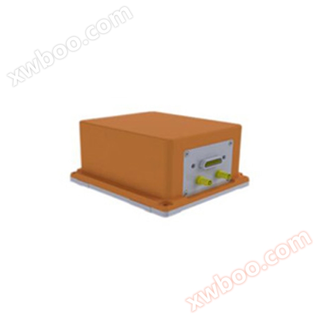
IMU-GI700 Fiber Optic Inertial Navigation System
NegotiableUpdate on 08/21
- Model
- Nature of the Manufacturer
- Producers
- Product Category
- Place of Origin
Overview
Three axis (gyroscope, accelerometer) heading angle 0-360, attitude angle pitch angle 90, roll angle 180, heading 0.06 (1) self seeking north navigation accuracy 1-2 n mile/h (CEP pure inertia) 1.2m (GNSS combination) 2cm+1ppm (GNSS RTK state) power supply voltage DC 18-36VRS-232, RS-422, CAN2.0b, network port supports PPS, EVENT MARK input/output optional wide temperature working -40~55 ℃, data update rate 200HZ adjustable working mode vehicle mode (default mode); Airborne mode; Ship borne mode
Product Details
The product is equipped with a full temperature high-precision closed-loop fiber optic gyroscope and a high-precision quartz accelerometer. With the help of innovative inertial device error calibration compensation and strapdown navigation technology, it can achieve autonomous north finding accuracy and autonomous navigation accuracy.
The product is equipped with original data storage and surveying grade navigation post-processing software, which can fully meet the application needs of various surveying fields such as mobile city surveying and ocean surveying. To meet compatibility requirements, the product is equipped with a mobile surveying grade multi-mode multi frequency receiver that supports autonomous functions, and is also equipped with a new integrated navigation sensor fusion algorithm engine. By optimizing the design for occlusion and multipath interference, it can achieve high-precision output for a longer period of time. To meet the scalability requirements, the product supports the external connection of various sensors such as odometer, barometric altimeter, etc. It adopts multi-sensor data fusion technology to combine inertial measurement with odometer, barometric altimeter, etc., which can achieve long-term high-precision combined navigation, especially suitable for high-precision positioning and orientation on land and compass applications on ships.
Main Features
Multi beam hydrological measurement
Navigation for ships, vehicles, and aircraft
Weapon launch platform, dynamic base stability control
● Stable photoelectric detection
● Navigation