-
E-mail
sales@msensor.com.cn
- Phone
-
Address
6F, Building E, Liye Building, Sensor Network Technology Park, Xinwu District, Wuxi City, Jiangsu Province
Product Categories
Wuxi Maike Sensing Technology Co., Ltd

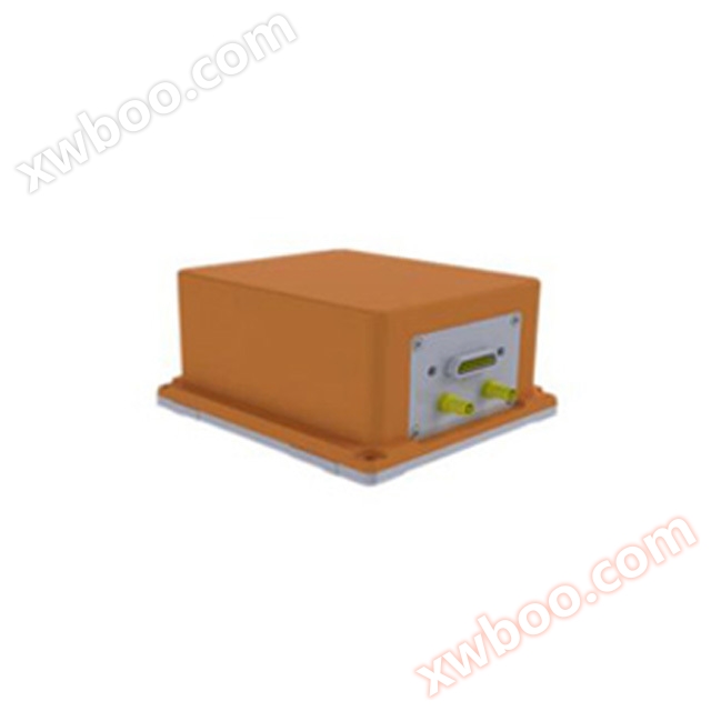
IMU-GI7635 Fiber Optic Inertial/Satellite Integrated Navigation
NegotiableUpdate on 11/24
- Model
- Nature of the Manufacturer
- Producers
- Product Category
- Place of Origin
Overview
Three axis (gyroscope, accelerometer) heading (GPS effective) 0.1 speed accuracy 0.2m/s power supply voltage DC 24V output RS-232, RS422 optional wide temperature operation -40~55 ℃ data update rate 100HZ adjustable volume (L170 * M160 * H166mm) customizable
Product Details
The IMU-GI7635 is equipped with a high-precision inertial measurement unit that can autonomously search for north; After combining two dual frequency GNSS receivers, the output system azimuth angle can also output yaw angle, which is more suitable for various environmental applications; When the satellite signal is completely blocked, the device enters inertial navigation mode, and with the high-precision fiber IMU, it can still maintain good measurement accuracy for a certain period of time.
IMU-GI7635 has three built-in modes: onboard mode, shipborne mode, and onboard mode. According to user needs, it is possible to support the introduction of devices such as odometer, airspeed, and DVL (Doppler velocimeter) for speed compensation.
Main Features
● Build high-precision real-time heading attitude combination navigation settlement output
● Fast directional speed and strong anti-interference ability
● Can be used as a dual frequency RTK mobile station, with positioning accuracy up to centimeter level
● Equipped with yaw angle output, especially capable of providing accurate heading and yaw angles for drones, floaters, etc