-
E-mail
wujinmei@four-faith.com
-
Phone
13959264836
-
Address
5th Floor, Building B14, Software Park Phase III, Jimei District, Xiamen
Product Categories
- Field water-saving irrigation controller
- Radar flowmeter
- Smart Irrigation Area Information Management Platform
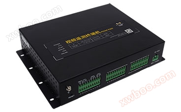
- Video telemetry terminal RTU
- Comprehensive Reform Platform for Agricultural Water Prices
- Wireless warning broadcast
- Pull rope displacement sensor
- The Ministry of Water Resources recommends wireless warning broadcasting for evaluation
- GNSS receiver
- Well controller
- Radar flowmeter
- Water conservancy informatization platform
- Tipping bucket rain sensor
- Universal monitoring equipment
- Integrated monitoring station
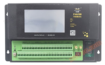
- Environmental protection data acquisition instrument
- Intelligent valve controller
- Integrated water level gauge
- MCU multifunctional telemetry terminal
- RTU telemetry terminal
- Beidou series terminal
Xiamen Sixin IoT Technology Co., Ltd

Integrated automatic rainfall station | Integrated satellite monitoring station for water and rain conditions
NegotiableUpdate on 04/14
- Model
- Nature of the Manufacturer
- Producers
- Product Category
- Place of Origin
Overview
● Trigger the collection of rainfall ● Regularly collect and report rainfall, water level, water quantity, water quality and other data ● Remote query of current rainfall, water level, water quantity, water quality and other data ● Support the "Hydrological Monitoring Data Communication Protocol" and "Water Resources Monitoring Data Transmission Protocol" ● Support the Beidou transmission channel, support alarm linkage control function ● GIS based information management platform, visually display each monitoring point, monitoring data and warning situation ● Support the expansion of soil moisture, conductivity, pH value, groundwater parameters and meteorological parameters, etc
Product Details
The integrated automatic rainfall station (water and rain monitoring integrated station) is suitable for monitoring water levels in hydrological environmentsautomaticRainfall monitoring, in accordance with the Hydrological Monitoring Data Communication Protocol, has functions such as real-time data collection, local storage, and low-power transmission, providing strong support for centralized digital monitoring and assisting decision-making.


 |
Multiple communication methods Supports GPRS/CDMA/3G as the main transmission channel, with SMS, Beidou, Zigbee as backup transmission channels, and optional communication methods such as PSTN, ultra short wave, microwave, etc |
 |
Industrial-grade design Resistant to high and low temperatures, strong electromagnetic interference, suitable for harsh on-site environments |
 |
Load balancing design Can meet the access needs of multiple sites and improve management efficiency |
 |
Business integration Each business module is independently designed and dynamically configured to achieve multi business collaborative office |
 |
Proactively report alarm information The on-site monitoring box can actively send information such as door opening, power failure, and abnormal equipment operation to the monitoring center |
 |
Monitoring of measuring devices Remote monitoring and collection of operational information from measurement points, analysis of measurement faults and other information, timely detection of measurement anomalies |
 |
Universal Interface Open database structure design, with standard interface calls, to meet the data calling and sharing needs of third-party platforms, achieving maximum utilization of information. |
 |
Service upper layer application Design a database according to national standards, and the data received through this system can be directly connected to the standard water and rain situation database to provide services for upper level applications |
 |
Rich charts Visualize the data based on different times, thresholds, parameters, etc., and display the data of each monitoring station through daily, weekly, monthly reports, curves, bar charts, and other methods to make the data display more intuitive |
 |
Standardization implementation Integrated structure, easy maintenance, capable of unmanned operation |
| ●Trigger the collection of rainfall | ●Support battery voltage reporting function |
| ●Regularly collect water level, water quantity, water quality, and other data | ●Support image capture function |
|
●Regularly report rainfall, water level, water quantity, water quality, and other data
|
●Support local manual data setting function
|
|
●Warning triggers additional reporting of rainfall, water level, water quantity, water quality, and other data
|
●Support multiple data transmission protocols such as "Hydrological Monitoring Data Communication Protocol" and "Water Resources Monitoring Data Transmission Protocol"
|
|
●Local storage of rainfall, water level, water quantity, water quality, and other data
|
●Support Beidou transmission channel
|
|
●Remote query of current rainfall, water level, water quantity, water quality, and other data
|
●A GIS based information management platform that visually displays the distribution locations of various monitoring points, allowing for quick access to monitoring data and warning situations in the supervised areas within the jurisdiction |
|
●Remote query of local historical data
|
●Support a diversified warning mechanism with alarm linkage control functions, providing alarm methods such as SMS and email |
| ●Export historical data locally | ●Provide tiered data sharing services with remote configuration, management, maintenance, and self starting capabilities |
|
●Support the expansion of monitoring functions for soil moisture, conductivity, pH value, groundwater parameters, and meteorological parameters
|
●Automatically collect annual, monthly, daily, and time period water level, rainfall, and other data from each monitoring station, and display them in reports, line charts, bar charts, and other forms |
Technical Specifications
Related Downloads
Similar Product Recommend