Welcome Customer !

Membership

Help

Shenzhen Pengjin Technology Co., Ltd
Custom manufacturer

Main Products:

ybzhan>Products

Shenzhen Pengjin Technology Co., Ltd

  • E-mail

    513605359@qq.com

  • Phone

    18320930025

  • Address

    908-911, Building 6, SEG New City, Sanlian Community, Jihua Street, Longgang District, Shenzhen Pengjin Technology Co., Ltd

Contact Now

Sail 5 series aerial survey camera - billion pixel real-time 3D

NegotiableUpdate on 12/25
Model
Nature of the Manufacturer
Producers
Product Category
Place of Origin
Overview
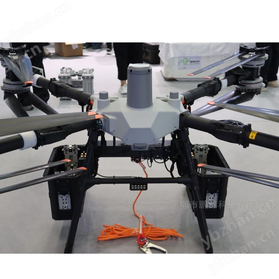
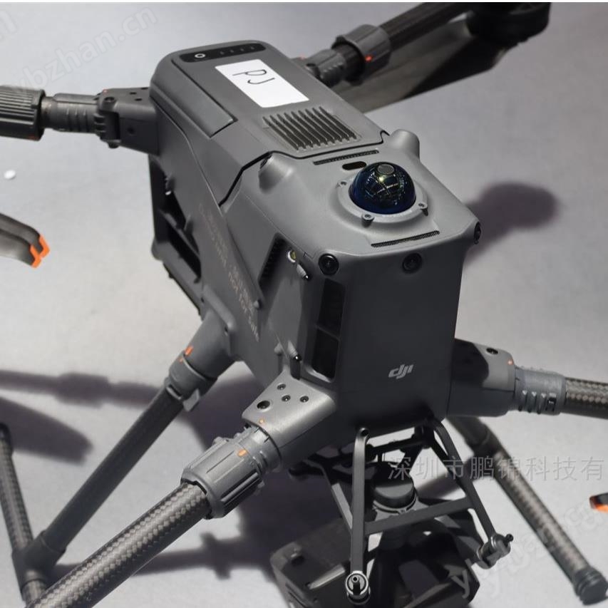
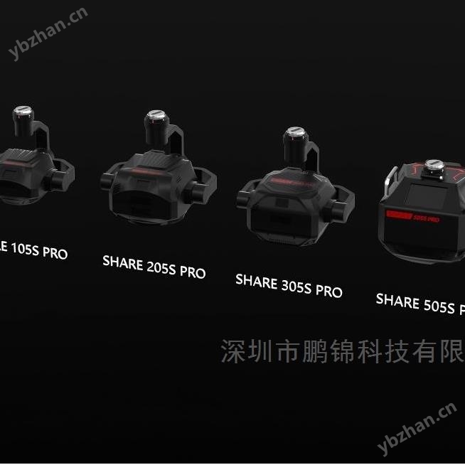
Sail 5 series aerial survey camera - billion pixel real-time 3D. Sail 5 series aerial survey camera is a flagship aerial survey equipment launched by Shenzhen Sail Intelligent Control Technology Co., Ltd., designed for high-precision real-time 3D modeling, terrain mapping and other professional scenes.
Product Details

Sail 5 series aerial survey camera - billion pixel real-time 3D

  1. Flagship level hardware configuration

    305 million pixel total five lens designComposed of one vertical lens and four oblique lenses, covering five directions including front, back, left, right, and bottom, with a single lens pixel of 61 million, it can achieve a 1:500 scale surveying accuracy.

    Medium format sensors and full frame lensesUsing large-sized sensors (such as the 505S PRO for medium format), paired with a full frame fixed focus lens, it has a wide dynamic range, low noise, and can maintain high image quality even in low light environments.

    5nm flagship chip and 1GB/s transmissionEquipped with high-performance image processing chips, it supports five synchronous exposures and 0.5-second high-speed continuous shooting, with a data transmission rate of 1GB/s, significantly reducing field operation time.

    Efficient homework ability

    25m/s ultra high speed aerial surveyAdapting to high-speed flight platforms such as DJI M400, the daily operating area has increased by more than 30% compared to the previous generation, significantly reducing time costs.

    Five channel real-time high-definition image transmissionSupports 4K/1080P dynamic stream display, allowing real-time monitoring of images from various perspectives and facilitating on-site adjustment of flight routes.

    Industrial grade storage and data managementStandard configuration includes a large capacity SSD storage module, supporting secondary unified data management, with a data copying speed of over 1GB/s, compatible with multiple formats such as LAS/PLY, and seamlessly integrated with mainstream modeling software such as ContextCapture and DJI Zhitu.

    Environmental adaptability and reliability
  2. Magnesium alloy lightweight bodyMade of aviation grade magnesium alloy material, weighing only 2.5kg, balancing strength and portability, supporting IP54 protection level, and capable of stable operation in environments ranging from -20 ℃ to 50 ℃.

  3. Long shutter life and durabilityThe shutter life exceeds 100000 times, suitable for high-frequency and high-intensity work requirements.

Application scenarios

  1. Construction of urban level digital twins
    • Capturing details such as building facades and road textures with centimeter level accuracy, supporting multi lens synchronous triggering, and covering an area of several square kilometers with a single flight, providing basic data for smart city planning and traffic flow analysis.

  2. High precision topographic mapping
    • Meet the requirements of national 1:500 scale topographic mapping, with a plane accuracy of 3cm and an elevation accuracy of 5cm, suitable for scenarios such as highway and railway survey, water conservancy engineering design, etc.

  3. Cultural Relics Protection and Ancient Architecture Archiving
    • Multi lens oblique photography can fully record the three-dimensional structure of ancient buildings, generate refined point cloud models, and be used for digital archiving, restoration plan design, and cultural heritage research.

  4. Geological hazard monitoring
    • Low altitude close range photography (flight altitude ≤ 50m) can capture subtle changes such as slope cracks and landslide deformation, and combine historical data to achieve dynamic warning.

  5. Full cycle management of engineering construction
    • From preliminary terrain survey to construction progress monitoring, and then to later project acceptance, we provide high-precision 3D model support to reduce manual measurement risks and improve project efficiency.

summary

The Sail 5 series aerial survey camera relies on高像素、高速率、高兼容性Its core advantages have become equipment in fields such as surveying, planning, and infrastructure. Its deep collaboration with platforms such as DJI M400, as well as its adaptability to complex scenarios, have enabled it to achieve industry level efficiency and accuracy. Whether it's city level digital twins, high-precision terrain mapping, or emergency disaster relief and cultural relic protection, the Sail 5 can provide reliable technical support to help users achieve data-driven decision upgrades.


Sail 5 series aerial survey camera - billion pixel real-time 3D

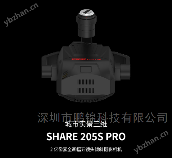
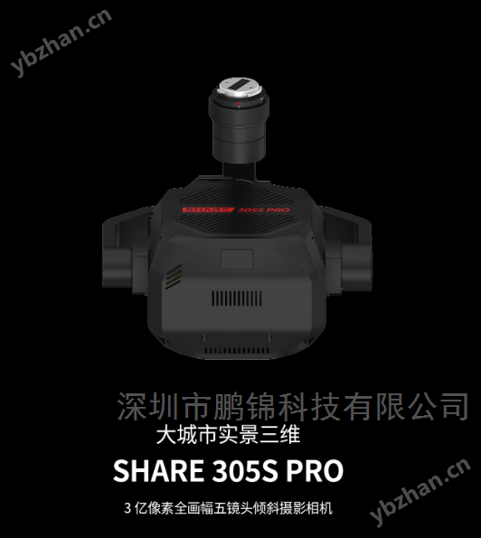
Similar Product Recommend