-
E-mail
atlasinfo@atlasinfo.com.cn
- Phone
-
Address
Room 701, Guanhui Building, Building 3, No. 30 Shixing Street, Shijingshan District, Beijing
Product Categories
Beijing Atlas Information Technology Co., Ltd

Multi source video and remote sensing intelligent supervision platform
NegotiableUpdate on 09/19
- Model
- Nature of the Manufacturer
- Producers
- Product Category
- Place of Origin
Overview
1、 Product introduction The multi-source video and remote sensing intelligent supervision platform is a fully independent intellectual property service product of Beijing Atlas Information Technology Co., Ltd. (hereinafter referred to as "the company"). Its core application is to use video AI technology to automatically collect and record illegal events and on-site conditions, and connect with various business systems to form a closed loop of business processes, explore a non-contact law enforcement model, which can assist the government to respond quickly to emergencies and provide technical support for the government's remote law enforcement
Product Details
Brief introduction
The multi-source video and remote sensing intelligent supervision platform is a fully independent intellectual property service product of Beijing Atlas Information Technology Co., Ltd. (hereinafter referred to as "the company"). Its core application is to use video AI technology to automatically collect and record illegal events and on-site conditions, and connect with various business systems to form a closed loop business process, explore a non-contact law enforcement model, which can assist the government to respond quickly to emergencies and provide technical support for the government's remote law enforcement.
2、 Product Features
1. Implement automatic splicing of camera video panoramic images, uniform lighting and color;
2. Realize the conversion between video pixel coordinates and geodetic coordinates;
3. AI recognition of illegal activities related to natural resources;
4. Customization of business functions.
3、 Functional modules
The core functions of the product mainly focus on five aspects: orthophoto, panoramic processing, illegal spot assistance verification, video AI scene recognition, and coordinate bidirectional conversion.
| core functionality |
functional description |
| Orthophoto |
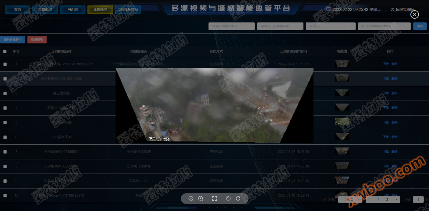
Convert specific video segments according to geographic coordinates. The specific methods include calculating ground point coordinates, calculating image point coordinates, grayscale interpolation, and grayscale assignment. The main steps include correcting control point acquisition and regional network adjustment, using some attitude parameters provided by cameras and processing parameters related to the ground system for rough correction, and then combining satellite images and DEM data for fine correction of the image. ) |
| Panoramic processing |
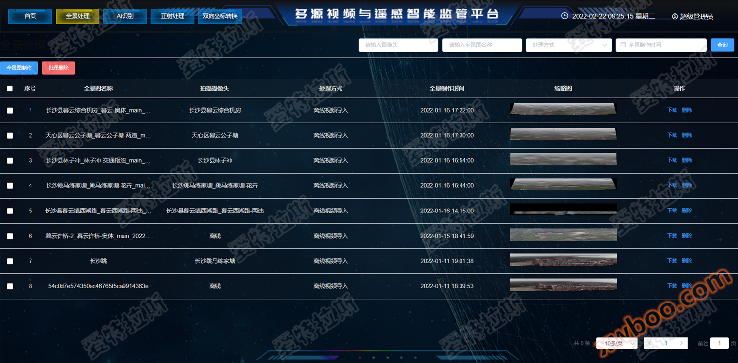
Perform panoramic stitching on specific video segments. (The specific methods are: feature point extraction, feature point matching, control point generation, panoramic model optimization, seam line extraction, and image color uniformity. In order to improve the speed of stitching, it is necessary to first extract keyframes from the video data, which have obvious rotation changes between keyframes. Feature points and matching are extracted from keyframes, and the matching results are used to generate control points. Then, based on the panoramic model, the overall optimization is calculated to determine the pose of each keyframe. Finally, stitching is performed according to the pose. During the stitching process, seam line extraction and color uniformity algorithms can solve the problem of inconsistent color tones in different keyframes.) |
| Illegal spot auxiliary verification |
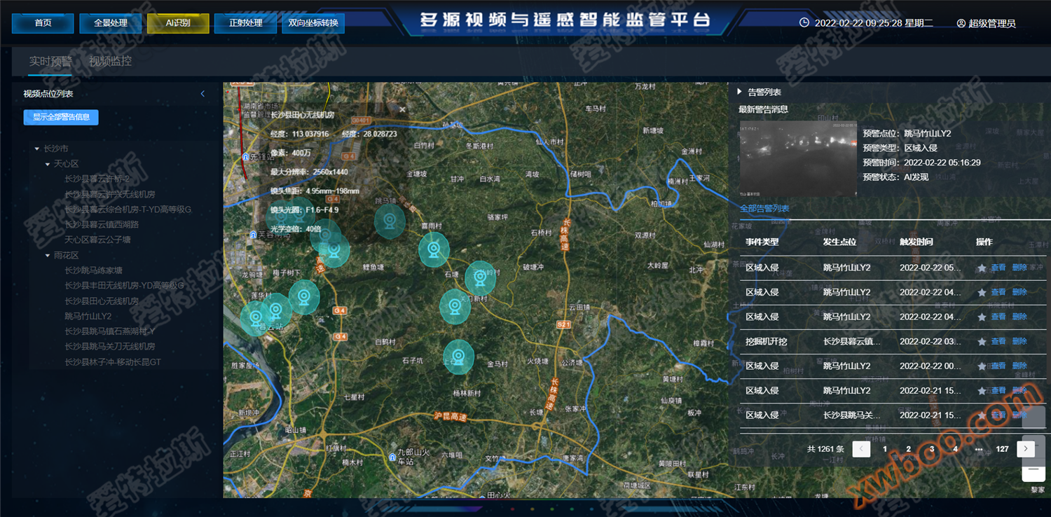
By uploading illegal images through satellite imagery, corresponding cameras can be automatically retrieved to assist in identifying illegal incidents. (The specific method is to collect samples and train deep learning models for illegal spots to achieve intelligent recognition of illegal spots in videos. Through the transformation of the image ground coordinate system, the position and time of illegal spots are projected onto the corresponding video or surveillance to assist in the verification of illegal spots.) |
| Video AI scene recognition |
At present, AI recognition sample scenarios include: construction behavior recognition (excavator excavation), building progress recognition (illegal construction, building changes), river and lake monitoring (road construction on river and beach, house construction on river and beach, tree planting on river and beach, sand and soil excavation on river and beach, garbage dumping on river and beach, net cage farming), farmland monitoring (farmland change detection), human destruction monitoring (recognition of human or other animal entry, dumping of garbage, exposure of garbage, regional invasion, engineering vehicle monitoring), ecological restoration monitoring (black and odorous water bodies, grass planting on slopes), and slag and soil monitoring (dumping of slag and soil). Based on the samples, deep learning model training algorithms are used for different land features, mainly using fully convolutional networks (CNN) and conditional random access monitoring. Airport (CRF) algorithm. After continuous model development and testing, build a more robust application model. Develop corresponding rules for illegal behavior based on actual ground object recognition application scenarios. |
| Coordinate bidirectional transformation |
Satisfy the conversion of geodetic coordinates to video coordinates, as well as the conversion of video coordinates to geodetic coordinates. |
4Case Showcase

5、 Application direction
Law enforcement monitoring, video surveillance, intelligent transportation, driving assistance, etc.
Similar Product Recommend