-
E-mail
atlasinfo@atlasinfo.com.cn
- Phone
-
Address
Room 701, Guanhui Building, Building 3, No. 30 Shixing Street, Shijingshan District, Beijing
Product Categories
Beijing Atlas Information Technology Co., Ltd

RSP Satellite Remote Sensing Intelligent System Product (II) | ATLAS RSP Remote Sensing Image Free Net Color Uniformity Algorithm Achieves Breakthrough!
NegotiableUpdate on 09/19
- Model
- Nature of the Manufacturer
- Producers
- Product Category
- Place of Origin
Overview
In the production of remote sensing images, digital orthophoto images usually require uniform lighting and color processing in the final stage of processing in order to achieve consistent color, tone, and texture effects
Product Details
In the production of remote sensing images, digital orthophoto images usually require uniform lighting and color processing in the final stage of processing in order to achieve uniform color, consistent tone, and similar texture effects.
Due to factors such as satellite cameras and shooting environments, images from different cameras in the same area may have differences in brightness, color, and other aspects, which can affect the overall aesthetics and application. Therefore, it is very necessary to achieve uniform lighting and color distribution in multi camera images. Adjacent remote sensing images may have differences in imaging date, season, weather, environment, and other factors, which not only result in geometric distortion but also radiation and horizontal differences, leading to inconsistent color brightness values of the same named features in adjacent images. If this type of image is mosaic without color tone adjustment, even if the geometric registration accuracy is high and the overlapping area is well combined, the color tone difference between the two sides of the mosaic image is obvious, and the seam line is very prominent, which is neither aesthetically pleasing nor affects the analysis and recognition of land cover images and professional information, reducing the application effect. Require the embedded data to have almost no color difference and be aesthetically pleasing. Ensure overall color consistency of remote sensing images after color uniformity.
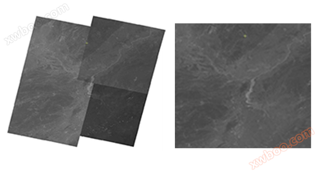
Case study of uniform light and color treatment in desert areas:

Case study of uniform light and color processing in water land segmentation area:

Full color band uniform light and color processing case:
Similar Product Recommend