-
E-mail
atlasinfo@atlasinfo.com.cn
- Phone
-
Address
Room 701, Guanhui Building, Building 3, No. 30 Shixing Street, Shijingshan District, Beijing
Product Categories
Beijing Atlas Information Technology Co., Ltd
Radar Image Comprehensive Processing Software (ATLAS-SAR)
NegotiableUpdate on 09/19
- Model
- Nature of the Manufacturer
- Producers
- Product Category
- Place of Origin
Overview
1、 Product Introduction: ATLAS-SAR is a commercial microwave remote sensing (SAR) visualization and interactive application processing software in China. It is a time series interferometric SAR processing software package (TSIInSAR) with completely independent intellectual property rights
Product Details
1、 Product Introduction
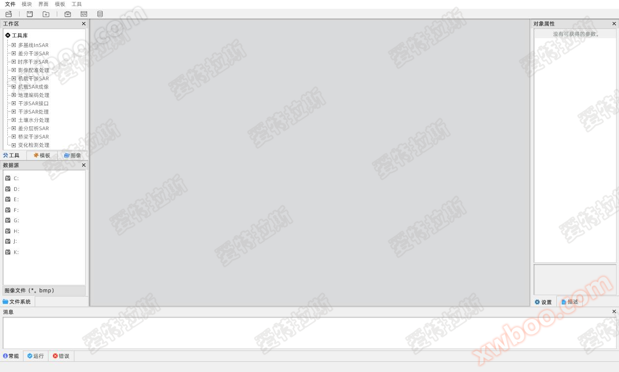
ATLAS-SAR is a commercial microwave remote sensing (SAR) visualization interactive application processing software in China, which has completely independent intellectual property rights for the temporal interferometric SAR processing software package (TSIInSAR). The ATLAS-SAR processing software is specifically designed for processing SAR data and SAR images, with a user-friendly visual interface and support for multiple platforms such as Linux, Windows, OS-X. The software integrates fully self-developed SAR imaging processing Advanced SAR product production, SAR geocoding, interferometric/differential interferometric/temporal interferometric SAR, differential tomography SAR, SAR land cover change and interpretation, multi-source fusion information processing and other processing toolkits, supporting various SAR sensors on ground-based, airborne, satellite and other platforms at home and abroad, supporting process guidance, customized templates, one click execution, graphical programming and other operation modes, supporting data processing, distribution and spatiotemporal display on multiple platforms such as digital earth and GIS, widely used in various fields such as land, surveying, transportation, railway, water conservancy, electricity, mining, energy, housing construction, emergency disaster reduction, etc.
2、 Software Features
1. Support the generation of SAR image products
2. Support DSM and DEM generation for SAR
3. Support the acquisition of surface deformation information in urban areas and vegetation covered regions
4. Support the acquisition of fine deformation information for small targets such as buildings, bridges, roadbeds, hydropower dams, etc
5. It can be integrated with traditional leveling, displacement, and Beidou/GPS deformation monitoring technologies
6. Support the classification, transformation, and interpretation of land features (roads, water systems, residential areas, bridges, etc.)
7. Support multi-threaded processing technology
8. Cross platform compatibility, suitable for operating systems such as Linux and Windows
9. Rich processing flow template library
10. Rich algorithm modules and parameter setting options
11. Accuracy of engineering level deformation information
12. 3D visualization of deformation information display
13. Complete and reliable analysis report on processing results
Similar Product Recommend